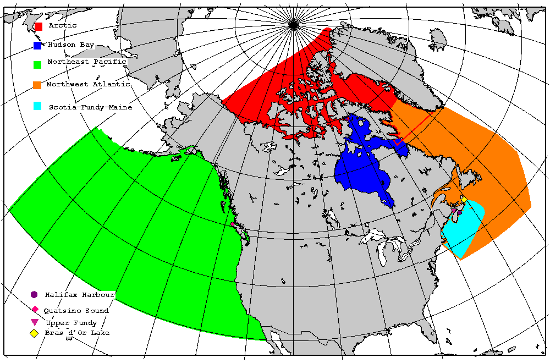
WebTide Tidal Prediction Model
WebTide is a modelling tool to predict tides in Canada’s Atlantic, Arctic, and Pacific oceans. It is widely used in research on Canada’s oceans. Among its many applications, it has been used to assess:
- Plans for aquaculture
- Marine hazards
- Potential tidal power
Disclaimer: This product should not be used for navigation purposes.

- Date modified: