Coastal Embayments
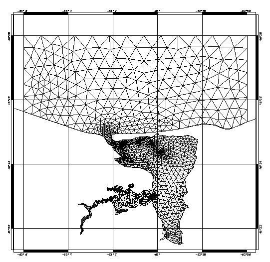
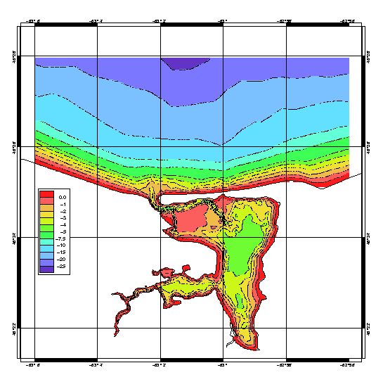
Numerical circulation models are being developed for selected coastal embayments to provide quantitative representations of local currents and sea levels, and to estimate dispersion rates of pollutants and other materials. The finite-element models used in Atlantic Shelf Circulation Modelling are being adapted to the complex geometry and varying shoreline of embayments, providing high local resolution while including portions of the offshore shelf.
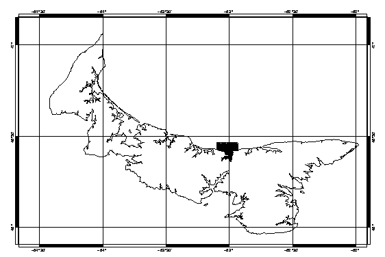
Initial applications focussed on Halifax Harbour, examining the sea level response to the 1917 Halifax Explosion (Greenberg et al. 1993) and the spatial structure of tidal currents in major shipping channels. Applications to Passamaquoddy Bay are being used in the assessment of aquaculture site suitability and productivity (Greenberg et al 2005). Similar applications to Tracadie Bay (P.E.I.) are in progress.
Available Images and Animations


1. Greenberg, D.A., T.S. Murty and A. Ruffman. 1993. A numerical model for the Halifax Harbour tsunami due to the 1917 explosion. Mar. Geod. 16(2), 153-167.
2. Greenberg, D. A., Shore, J. A., Page, F. H., Dowd, M., 2005. A finite element circulation model for embayments with drying intertidal areas and its application to the Quoddy region of the Bay of Fundy. Ocean Modelling 10, 211-231.
- Date modified: